
Coral Gables ZIP Coverage
City records support six ZIP areas serving Coral Gables. They run from the historic core through the University corridor to southern waterfront neighborhoods. This coverage table describes the portion in or near the city, not the whole postal territory. USPS confirms mail delivery, while Miami-Dade GIS confirms the municipality.
| ZIP | Coral Gables Areas | Postal Check | Boundary Note |
|---|---|---|---|
| 33134 | Downtown, Miracle Mile, Granada, Biltmore, north and central city | USPS address lookup; Coral Gables retail service | Core ZIP; 53.19% of the 2018 city survey |
| 33146 | University of Miami, Riviera and central-south corridors | USPS; University-area service | Also associated with South Miami and Coconut Grove; 28.66% |
| 33143 | Sunset, High Pines and western or southwest edge | USPS address lookup | Shared with South Miami and county areas; 3.82% |
| 33156 | Old Cutler, Gables Estates and Gables by the Sea vicinity | USPS address lookup | Also used in Pinecrest and Kendall; 4.99% |
| 33158 | Far southern waterfront vicinity | USPS address lookup | Strongly shared with Palmetto Bay; 1.27% |
| 33133 | MacFarlane, northeast edge and Coconut Grove interface | USPS address lookup | Shared heavily with Miami and Coconut Grove; 5.31% |
The survey percentages came from 942 city respondents, so they are not census population shares. They do confirm the six-ZIP pattern and the heavy weight of 33134 and 33146. A generic postal list may add adjacent codes because postal aliases do not follow the city line.
The Coral Gables ZIP code directory is most useful as a geographic filter. It separates the central city from the University corridor and the long southern reach, then points to the record key that can prove more. Neighborhood names are descriptive, not always legal boundaries. Downtown, Granada, Riviera, South Gables, Cocoplum, Gables Estates, Old Cutler, and MacFarlane can overlap postal, planning, and community labels in different ways.
Coral Gables ZIP 33134
ZIP 33134 is the civic and historic core of the ZIP code directory. It covers Downtown and Miracle Mile, City Hall, Granada, Biltmore, and much of the north and central city. The Coral Gables Branch Library and central government addresses help validate this area. Older neighborhoods here are well suited to research that pairs deeds, city directories, Sanborn maps, permits, and archive photographs.
Even within the core, do not infer who lives at a parcel from the mailing label. County assessment records show the owner and a separate tax-mailing address. A same-address mailing address may support owner occupancy, but it does not list renters, relatives, or other household members.
Coral Gables ZIP 33146
ZIP 33146 includes the University of Miami and the Riviera or University area, plus central-south corridors. The university creates a younger and more mobile population pocket. Institutional directories, yearbooks, newspapers, and archives can show an affiliation, but that connection does not prove a permanent Coral Gables home.
This ZIP also reaches toward bordering communities and can appear with South Miami or Coconut Grove associations. When a result depends on jurisdiction, open the county parcel record and check the municipal layer. For university history, the campus archives may add names and dates, while current ownership still belongs to the county tax roll.
City polling locations and park addresses reinforce the 33146 connection, but they do not draw a complete boundary. Polling geography is useful because it reflects election administration, while USPS serves delivery. Keep those roles distinct. A person tied to a campus office, club, or yearbook may have lived elsewhere, and a university mailing address may describe an institution rather than a home.
Coral Gables Edge ZIP Records
The four smaller ZIP areas produce the most boundary mistakes. ZIP 33133 covers the MacFarlane and Coconut Grove interface and is heavily shared with the City of Miami. Search older MacFarlane names under Coral Gables, Coconut Grove, and Miami headings because catalogs and newspapers may use different geographic labels.
ZIP 33143 reaches the Sunset and High Pines edge but also serves South Miami and nearby county land. ZIP 33156 covers southern Coral Gables near Old Cutler and waterfront communities, while extending into Pinecrest and Kendall. ZIP 33158 reaches the far south and is strongly shared with Palmetto Bay. A Coral Gables ZIP code directory can narrow an area, but only a parcel check settles city jurisdiction.
Search Coral Gables Residents by ZIP
Few official sources are true ZIP-wide resident rolls. Sunbiz accepts ZIP as a search key for business filings. FDLE statutory registries also accept ZIP, but those are narrow safety tools, not a general directory. The Property Appraiser front page emphasizes street address, owner, subdivision, and folio instead of a dedicated ZIP field. A voter extract may be filtered after it is lawfully obtained and its exempt data has been removed.
- Verify the complete delivery address through USPS. Capture the standardized street line, ZIP, and ZIP+4 when returned.
- Find the parcel in Miami-Dade Property Search by address. Record its folio, municipality, owner, and separate mailing address.
- Use Sunbiz by ZIP when the goal is to find companies or officers whose filed address falls in that postal area.
- For voter research, use the public extract channel and respect all address exemptions. Do not harvest the authenticated one-person lookup.
- Once the area narrows to a road, continue with the Coral Gables street directory for address-level work.
This sequence keeps delivery, jurisdiction, ownership, and personal identity as separate facts. A match across two systems is far stronger than a ZIP alone.
Sunbiz is the clearest official example of a true ZIP field. Its search menu can return entities whose filed address uses the chosen code, and a detail page may show principal, mailing, or registered-agent addresses. Annual-report images add dates to those ties. The result identifies a business filing, not every resident within the ZIP. Likewise, a filtered voter extract covers only registered voters whose addresses are not protected. Neither source should be described as a full household roll.
USPS Checks for Coral Gables
The USPS address-to-ZIP lookup is the official delivery-format check. Enter the street address, city and state. It can normalize the address and return the assigned code. It does not identify the owner, occupant, municipality, title status, or parcel boundary.
| Field | What to Enter | What It Resolves |
|---|---|---|
| Street address | Number, street and unit when applicable | Delivery point and standardized line |
| City | Coral Gables or the accepted postal city | Postal routing, not incorporation |
| State | Florida | Limits the national search |
| Returned ZIP+4 | System result | More precise delivery segment |
The official USPS lookup screen shows the address-first form.
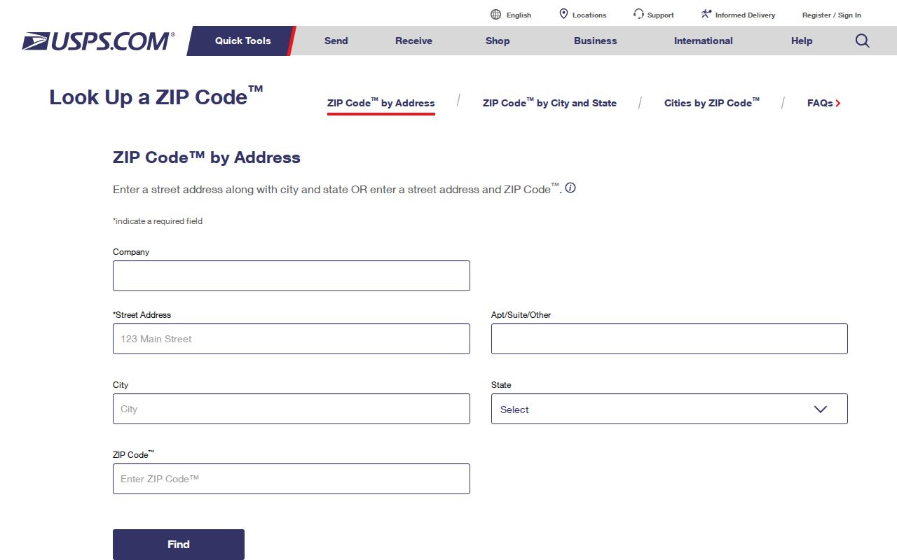
Use its answer as the postal key, then move to the county map for legal geography.
Map Coral Gables ZIP Jurisdiction
Coral Gables has a long, narrow shape, so its southern ZIP areas contain large amounts of land outside the city. The city's Parcel Zoning Check and 3D zoning map add municipal zoning and future-land-use context. Miami-Dade Property Search remains the ownership authority.
The Coral Gables zoning page provides the launch point for its parcel tools.
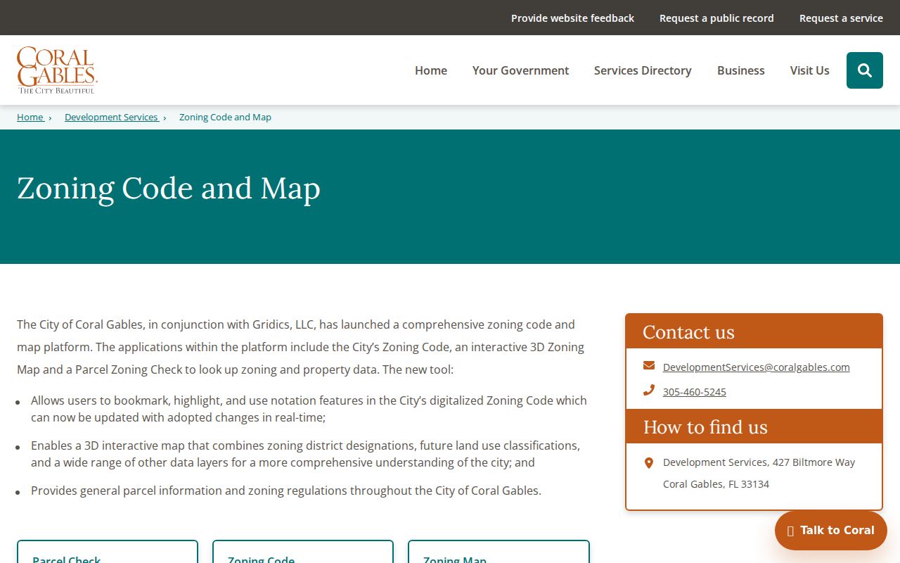
Pair the selected parcel with its county folio instead of trying to decode jurisdiction from the ZIP.
The county parcel interface can also show owner, mailing address, legal description, sales, exemptions, and an aerial view. “Situs” means the parcel's physical address. The owner mailing address can be a different property, a management office, or a post-office box. A same-address mailing entry and homestead exemption are consistent with owner occupancy, but they still do not identify all people in the household.
Boundary check. USPS answers where mail goes. County GIS and the displayed municipal layer answer whether the land is inside Coral Gables.
Coral Gables ZIP Record Keys
Different records organize the same place in different ways. The tax roll uses a situs address for the physical parcel and a mailing address for tax notices. Deeds rely on the legal description, such as subdivision, lot, block, plat, or metes and bounds. Voter files use residence, and business filings may show principal, mailing, or agent addresses.
- ZIP
- A five-digit USPS delivery area, not a city boundary.
- ZIP+4
- A delivery segment within the five-digit area, often a block, building, or group of boxes.
- PO-box ZIP
- A code used mainly or solely for post-office boxes rather than street delivery.
- Unique ZIP
- A code assigned to one high-volume institution or organization.
- Carrier route
- The group of delivery points served by one postal route.
A folio and legal description are more stable than a ZIP when tracing property over time. Historic reverse directories use the address printed in their own year, so do not apply a modern postal code to an older volume.
Coral Gables also mixes Miami-Dade grid roads with Mediterranean and Spanish street names, circles, plazas, and waterways. Preserve accents and spelling variants when moving from postal data to an index. For older property research, carry the subdivision, lot, block, and plat into the deed books. Those land keys survive changes in address style better than a ZIP code directory entry does.
Coral Gables ZIPs Versus Limits
A postal city of Coral Gables does not prove municipal jurisdiction. ZIP 33133 can mean Miami or Coconut Grove, 33143 can mean South Miami, 33156 can mean Pinecrest or Kendall, and 33158 can mean Palmetto Bay. The reverse is also true: a parcel inside Coral Gables may carry a postal label that does not plainly say Coral Gables.
The safe chain is short: USPS delivery result, county parcel and folio, then the municipal layer. Use precinct or polling geography as a secondary check, not a substitute for the parcel. This distinction matters for city permits, zoning, code cases, and municipal requests because those records exist only when Coral Gables is the proper custodian.
Note: ZIP areas change with postal operations, so save the lookup date when a boundary or delivery result matters to the research.