
Walk a Coral Gables Street
A street search works as a chain, not as a single list. Normalize the address first, then preserve the parcel identifier, legal description, and date of each result. Those details stop two similar names or nearby lots from being merged. Each later step should answer a question raised by the prior record.
- Enter the address in Miami-Dade Property Search and capture the folio, situs address, legal description, owner, mailing address, sales, and parcel facts.
- Zoom to the parcel map, switch to the aerial when useful, and click nearby lots to confirm the street sequence.
- Use the owner and acquisition date in the County Recorder index. Open the deed and compare its legal description with the parcel.
- Add Coral Gables zoning, permits, and code material to date changes and verify municipal jurisdiction.
- Use a lawful voter extract for street-scale research. The one-person voter-status form is not a street browser.
- For older households, consult street-order or criss-cross directories and pair names with dated maps and deeds.
The flow is address → folio → owner → deed → dated address evidence. Stop when the legal description changes unexpectedly. That usually signals a wrong parcel, split lot, condominium unit issue, or name collision that must be resolved before moving on.
Search Coral Gables Streets by Parcel
The Miami-Dade Property Appraiser Property Search is the main address index. It is free and designed for assessment, not a title guarantee. A result can connect an owner name with a folio, situs address, mailing address, legal description, values, exemptions, sales, building facts, and the parcel map. The roll changes as the office edits it, so save the roll year and access date.
| Search field | Input | Use along a street |
|---|---|---|
| Address | Street text | Find one parcel; a suite field can refine units. |
| Owner Name | Surname or entity | Find other parcels held under the same indexed name. |
| Subdivision Name | Platted community | Browse parcels beyond one street spelling. |
| Folio | Miami-Dade parcel number | Return to an exact parcel across searches. |
| Search and Zoom | Map control | Center the parcel and inspect aerial context. |
A sample public parcel card displays a hyphenated folio, municipality, owner and mailing address, property address, legal description, values, exemptions, sale references, and linked map data. Taxing-authority lines can support a Coral Gables jurisdiction check. None identifies every occupant.
- Parcel
- A mapped unit of land used for assessment.
- Situs address
- The physical property address, which can differ from the owner's mailing address.
- Plat
- A recorded map that divides land into subdivisions, blocks, and lots.
- Criss-cross directory
- A publication arranged by street and number rather than by surname.
Coral Gables Address Record Coverage
No address source gives a full household list. The most reliable street directory method gives each record only the weight it can bear. Property data establishes the parcel and assessed owner. The recorder establishes recorded parties and land transfers. City files date work and civic action. Historical publications supply listed residents.
| Address record | Keeper | Street evidence | Access |
|---|---|---|---|
| Assessment roll | Miami-Dade Property Appraiser | Owner, mailing and situs addresses, folio, sale, exemption | Free web search |
| Parcel GIS | Miami-Dade and Coral Gables | Boundaries, adjacent lots, aerial, zoning and future land use | Free maps |
| Official Records | Miami-Dade County Recorder | Deeds, liens, mortgages, plats, parties and legal description | Most 1974-present online; older library |
| Permit records | Coral Gables Development Services | Owner or applicant, contractor, scope, value and dates | City system or request |
| Code cases | City and Clerk | Respondent, location, hearing and compliance events | Online or request |
| Voter registration | Florida and Miami-Dade Elections | Nonexempt address, status, precinct and participation history | Authenticated lookup or lawful extract |
| Historical directories | Libraries and archives | Listed householder, spouse, work and address | Digital, microfilm, or appointment |
Ownership and presence are separate. A same-address mailing address and homestead exemption are consistent with owner occupancy, but still do not prove every person living there. An out-of-area mailing address can point to absentee or entity ownership.
Browse Coral Gables Streets in GIS
The county Esri parcel map turns one result into a street view. Select the mapped lot, compare its outline with the legal description, then click adjoining parcels one at a time. The interface offers an aerial layer, identified in the research as 2025 imagery, which helps distinguish a main structure, condominium setting, vacant parcel, or recent physical change.
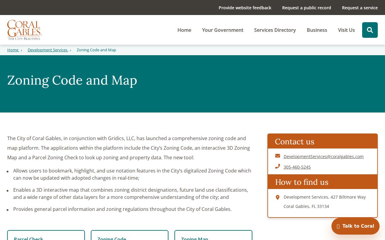
Coral Gables adds a municipal layer through its digital zoning code, interactive 3D zoning map, and Parcel Zoning Check. Address selection can return zoning district, future land-use class, and general parcel data. Search, pan, zoom, layers, bookmarks, highlights, and notes assist comparison. Use county GIS for parcel identity and the city tool for municipal planning context.
The city page shows the parcel and zoning controls used for that second check.
Note: A map layer describes the lot and jurisdiction; it does not certify who sleeps at the address.
Turn Coral Gables Parcels Into Deeds
After the parcel search, use the current owner as a grantee in the Miami-Dade County Recorder Official Records index. Narrow by deed type and the acquisition range shown on the parcel card. A result may expose grantor and grantee roles, document type, recording date, Clerk's File Number, Official Records book and page, legal-description clues, and an image or copy route.
Compare the deed's subdivision, lot, block, plat reference, or folio to the parcel. A trust or company may hold title instead of an individual. Do not assign a person to the home until the instrument and parcel agree. Deeds can also carry party addresses, signatures, witness and notary data, preparer information, and documentary stamps when those details are not restricted.
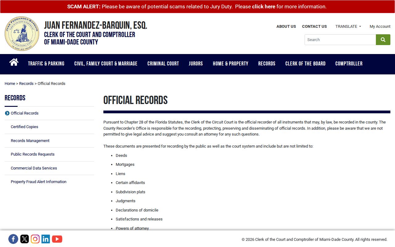
The official records page shows the county recorder's document scope.
Ordinary index searching is free. Advanced searches use purchased units at $1 each. Copies cost $1 per page, with $2 per document for certification. Certification proves a copy came from the custodian; it does not make every statement in the instrument true.
Older Coral Gables Street Records
Online recorder coverage is strongest from 1974 forward. Earlier deeds and indexes remain available through the Miami-Dade Records Library while backfile imaging continues. Carry the last known book and page, party name, subdivision, lot, block, plat reference, and likely year into the older search. Those stable facts matter more than a modern street spelling.
Library staff can search by party name in “Last Name First Name” order, company, Clerk's File Number, legal description, or Official Records book and page. A staff search costs $2 per name per year, so a broad surname request becomes costly fast. Public computers and staff help are available in person at 20 NW 1st Avenue, Suite 5.246, Miami. Mail requests should include the full name, document type, and legal description or address.
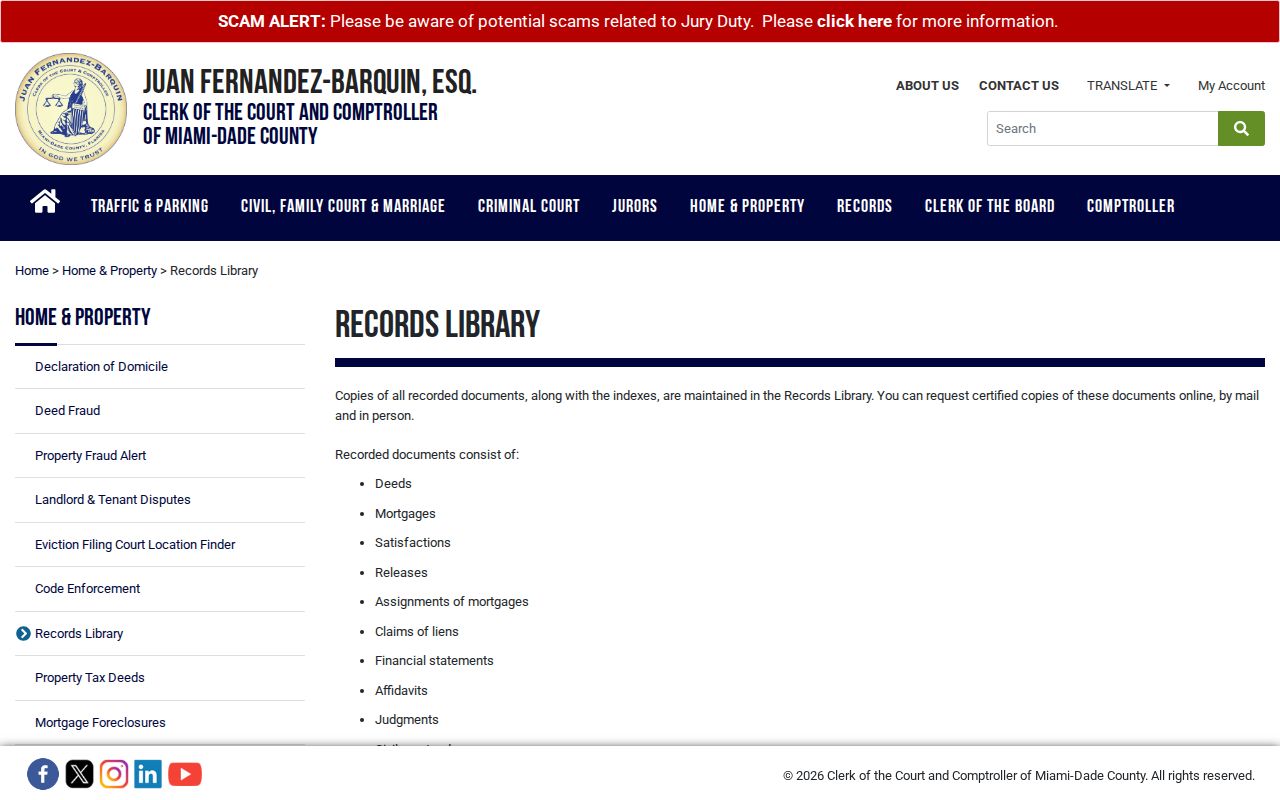
The Records Library page explains the counter and mail fallback.
County land records predate Coral Gables because Dade County was created in 1836. A pre-1925 land trail belongs to the county series, not to a nonexistent early city register.
Add Coral Gables Permit Evidence
Coral Gables Development Services at 427 Biltmore Way keeps building, planning, and zoning material. Permit applications can show an owner, applicant, contractor, property address, folio, project description, valuation, issue date, final date, and status. Inspection histories can date alterations. Code cases may name an owner or respondent and show a site, violation, hearing, and compliance events.
A permit is a dated snapshot, not a live resident list. The named owner may have sold the parcel, and a contractor is not an occupant. Cross-check every permit name against the assessment roll that was current near the permit date. For records absent from a published system, use the Coral Gables public-records channel. Florida Public Records Law does not require a requester to explain the purpose of a lawful request.
City Clerk records and Laserfiche can also supply minutes, appointments, petitions, correspondence, ordinances, resolutions, and contracts tied to a street. Ask for a defined address, date range, department, and record type rather than all material about a property.
Voter Data Along Coral Gables Streets
Florida voter registration and voting history are public subject to exemptions, but the individual registration-status tool is built to confirm one person. It asks for first name, last name, date of birth, and county. It is not a street directory browser, and voting history shows only which elections included participation, never ballot choices.
Street-scale work belongs in the public voter extract process. A current extract contains active and inactive registrations through the last day of the prior month and removes exempt data. Public fields can include name, nonexempt residence or mailing address, party, registration date and status, precinct, district, and participation history. Social Security numbers, driver-license or state-ID numbers, signatures, source-agency data, and protected addresses are withheld under Florida law.
Use Florida's voter extract request and the Miami-Dade Elections office for the proper channels. An inactive status does not date a move. Recent updates may appear first at the county because the statewide file is monthly.
Historic Coral Gables Streets by Address
The planned city's themed street names and old plats make historic address matching harder. No official exhaustive street-renaming or renumbering chronology was found, so dates must not be guessed. When a modern address fails in a Greater Miami directory, bridge the search with the legal description, subdivision, lot and block, historic plat, 1924 W.C. Bliss map, Sanborn key sheet, and Valdés-Fauli archive maps.
A reverse section, when present, arranges names by street and house number. It can place listed household heads beside one another and show when an address first appears. The 1934 standalone directory and 1939 Greater Miami Polk volume are verified checkpoints. Later Miami and suburban titles also cover the area. The Coral Gables city directory collections explain those books and their abbreviations in detail.
Sanborn maps show footprint, construction, use, and street layout rather than occupants. Pair the correct sheet with a directory and deed. Newspapers from 1941 through 1977 can then add social notices, obituaries, and local events tied to the address.
Verify Coral Gables Street Jurisdiction
A postal city label is not legal proof that a lot lies inside Coral Gables. Six locally evidenced ZIP codes, 33134, 33146, 33133, 33143, 33156, and 33158, cross municipal or unincorporated lines in several places. The safest check uses the folio, county map, municipality or taxing-authority field, and Coral Gables zoning layer together.
This matters around the Coconut Grove and MacFarlane edge, South Miami boundary, and southern postal areas. Neighborhood names such as Granada, Biltmore, Riviera, South Gables, Cocoplum, Gables Estates, Gables by the Sea, Old Cutler, and MacFarlane are useful search terms, but they are not always legal boundaries.
Street spellings also reflect Spanish and multicultural naming. Preserve both surnames and test hyphens, spaces, initials, and versions with omitted diacritics when a name-based index follows the address work.
Limits of Coral Gables Street Records
The 2025 preliminary assessment counted 19,998 Coral Gables real-estate parcels, including 10,827 single-family parcels and 5,641 condominiums, with about $40.7 billion in just value. Those figures show why parcel research is powerful and why it remains incomplete. One parcel can contain many units, a trust can mask the natural person behind title, and an assessed owner may live elsewhere.
Tax rolls do not enumerate renters, relatives, guests, or every household member. Voter addresses can be protected, and not every resident registers. Utility customer data and motor-vehicle addresses are not open household indexes. Directories omit people and age fast. Respect Address Confidentiality Program substitutes and occupational exemptions rather than trying to defeat them.
Lawful use. Use Coral Gables address records for legitimate personal research, and never to stalk, harass, intimidate, or harm anyone.
A sound street directory states the limits beside the findings. Ownership should be labeled ownership. A historical listing should retain its publication year. If evidence conflicts, the current custodian record and the instrument image deserve more weight than a copied summary.
Note: A mailing-address match, homestead clue, or directory entry supports a conclusion only when its date and record purpose are kept clear.